Flood Relief
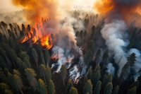
During the forest fire rescue period, the fire line, water source, road conditions, operational schematic diagrams, risk warning diagrams, force deployment charts, force statistical charts, battle results statistics tables and other data should be marked.
Flood Relief
During the forest fire rescue period, the fire line, water source, road conditions, operational schematic diagrams, risk warning diagrams, force deployment charts, force statistical charts, battle results statistics tables and other data should be marked.
Business pain points
• Flooding often paralyzes traffic, making it difficult for rescue workers and vehicles to reach the affected areas quickly. Roads that have been washed out and water that is too deep can hinder the progress of rescue teams, preventing relief supplies and equipment from reaching them in a timely manner.
• Rescuers go directly to flood-affected areas and are at risk of being swept away and drowned. Turbulent currents, hidden whirlpools, and underwater obstacles such as tree branches, wrecks, etc., can all cause harm to rescuers.
• Manpower rescue is limited by geographical conditions. For some remote areas, disaster areas with complex terrain (such as mountainous areas, swamps, etc.), it is difficult for rescuers to enter. In the event of flooding in mountainous areas, for example, steep slopes, narrow valleys and fast-flowing mountain streams can make it extremely difficult for rescuers to move.
Drone advantages
• Gain real-time aerial insights that enable firefighters to make informed strategic decisions in the chaos of wildfires.
• Improve personnel safety through advanced situational awareness, thereby reducing firefighter exposure to hazards.
• Collect critical data, optimize resource allocation, and monitor the impact of fire protection strategies in real-time.
Solution

Forest fire rescue solutions
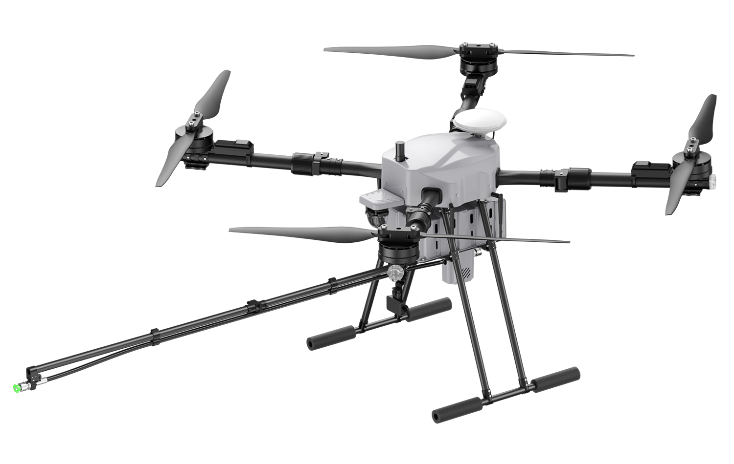
• The solution uses industry-level application drone D15 to display disaster investigation and fire line plotting; The multi-functional UAV Jiusi D15 RTK is used to carry out rescue missions such as reconnaissance, throwing, lighting, and communication relay.
• It can be quickly deployed, all-weather operation, change task load, and carry out a variety of task operations.
Forest fire rescue solutions
• The solution uses industry-level application drone D15 to display disaster investigation and fire line plotting; The multi-functional UAV Jiusi D15 RTK is used to carry out rescue missions such as reconnaissance, throwing, lighting, and communication relay.
• It can be quickly deployed, all-weather operation, change task load, and carry out a variety of task operations.
Flight Platform

Loads & Software

4K 180x hybrid zoom, 30x optical zoom 640x512 high-resolution thermal imaging (including temperature measurement) , 2K ultra-wide-angle 1200-meter high-precision laser ranging, 4K ultra-high-definition video recording and photography, stitching screen linkage zoom, infinite rotation of the panning axis;
Learn more>>

Workflow
2. Label and judge the fire scene through the real-time image information transmitted by the UAV, and synchronize the information of multi-terminal equipment through the ground station;
3. The command center conducts unified command and dispatch through the ground station task management platform.
More Application Scenarios
Join the JIUSI community to keep up to activities, News, Announcements and Sales


 中文
中文
 English